
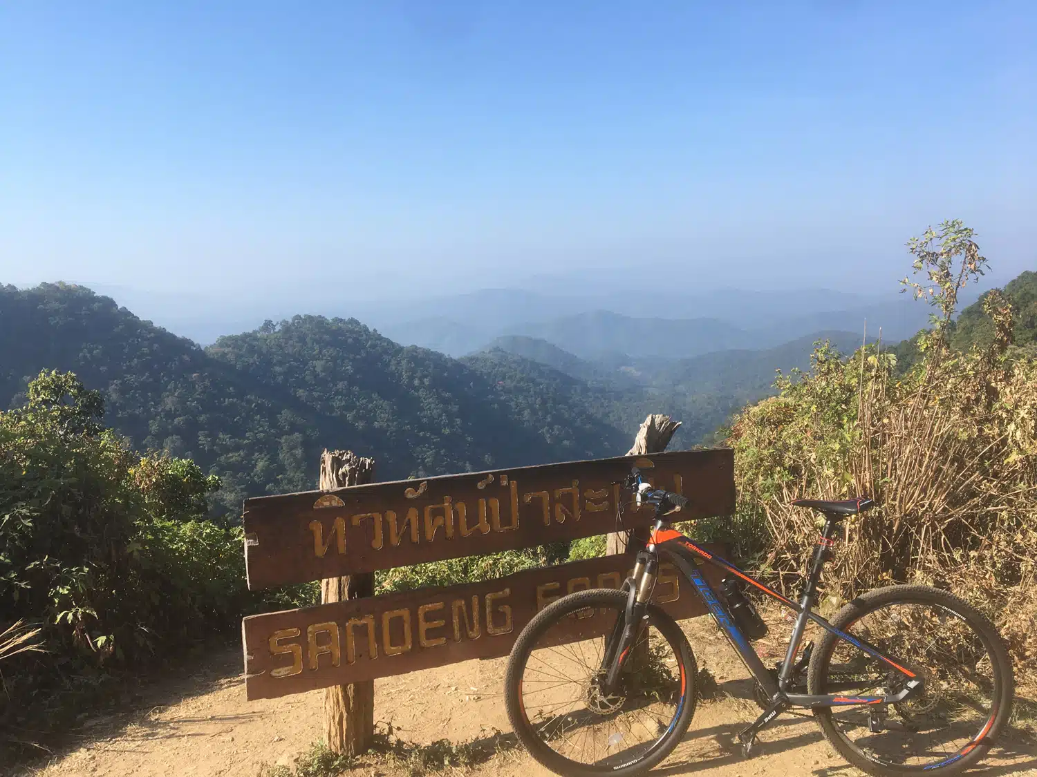
Chiang Mai cycling means mountains on the edge of town. About 4 km from our start on Suthep Road, some 2 km west of the Old City, road 1004 starts to climb Doi Suthep, and the Samoeng Loop takes you through the hills west of the city and back in one morning. Below are the four Chiang Mai cycling routes I rode myself on a road bike between 2019 and 2023, on one map and side by side, each with a free GPX and an elevation profile from a terrain model, with the climbs checked against published climb profiles.
Chiang Mai cycling routes on one map
All four routes start and finish at the same point on Suthep Road, about 2 km west of the Old City, so you can ride every one of them from a hotel in town. The Doi Suthep ride is the first part of the Doi Pui climb; on the map it is the thin orange line inside the blue one.

Which route? The four rides compared
| Route and best for | Vzdálenost | Šplhání |
|---|---|---|
| Smyčka Samoeng the classic full morning |
81 km | asi 1,400-1,500 m top 1,138 m |
| Doi Suthep a Doi Pui the big climb |
44 km | o 1,200 m top 1,537 m |
| Doi suthep a morning climb with sunrise |
29 km | asi 650-700 m top about 1,000 m |
| Jezero Huay Tung Tao an easy or recovery day |
34 km | méně než 100 m top about 370 m |
Heights and climbing come from the Copernicus terrain model along our GPX, with the climbs checked against published climb profiles, not from a watch or phone. Distances are for the GPX from Suthep Road.
The four road routes from Chiang Mai
Samoeng Loop: 81 km, about 1,400-1,500 m of climbing
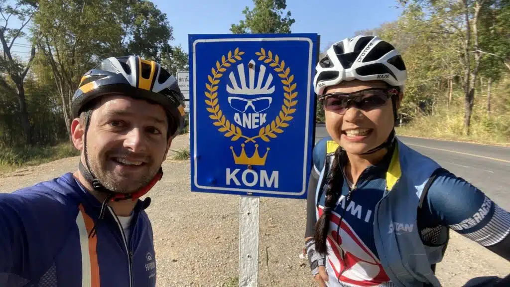
The best-known ride from Chiang Mai: anticlockwise into the hills on road 1269 to the KOM sign at about 820 m, a drop of almost 300 m, then the long climb to 1,138 m and mostly downhill through the Mae Sa valley. I rode it on 28 January 2020 with Chanika of Cycling Buddy Chiang Mai: 79 km in 4 hours 44 minutes, with coffee at Di Bosco after 49 km. Five days later I rode it twice in one day. My very first Samoeng Loop, in December 2019, was on a mountain bike; the ride with Chanika and the two-lap day were on a road bike.
Read the route and download the GPX: Samoeng Loop cycling: route, GPX and elevation profile
Doi Suthep and Doi Pui: 44 km, about 1,200 m of climbing
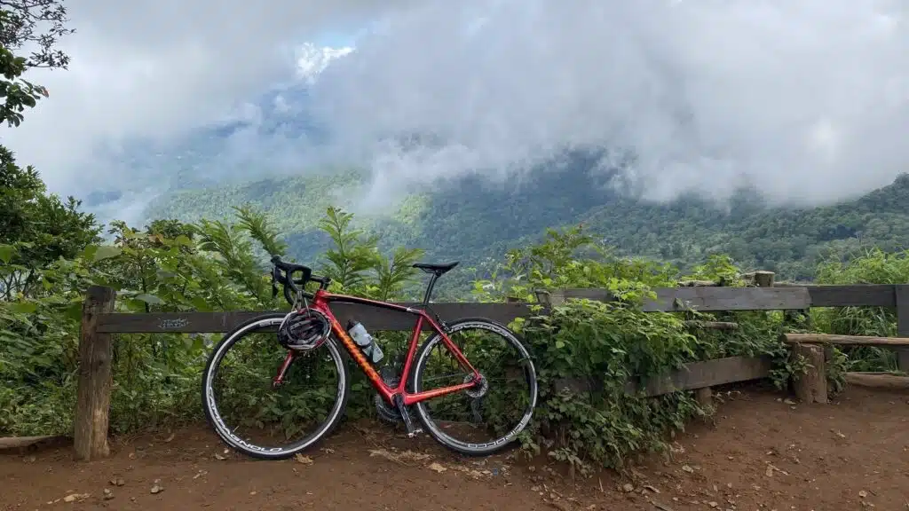
One long climb of about 18 km up road 1004, past Wat Phra That Doi Suthep and the Bhubing Palace, to the Doi Pui viewpoint at 1,537 m, then the same road down. Around 6.5-7% on average. I rode it on 6 October 2023: coffee with Chanika at the temple, then on alone to the top, and back in town before 11.
Read the route and download the GPX: Doi Pui cycling: all the way up to 1,537 m
Doi Suthep: 29 km, about 650-700 m of climbing
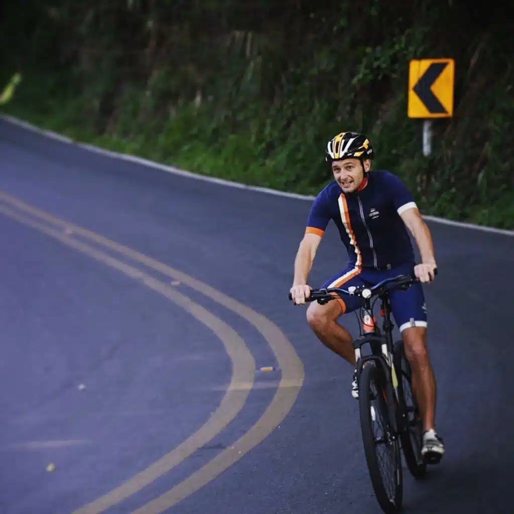
The first half of the Doi Pui climb: 10.7 km and about 650 m at around 6% to the temple car park. It is one of my favourite things to do in Chiang Mai. Go early: on 26 November 2019 I left at 5:49 and watched the sun come up over the city from the bike. At the top I have a coffee and a fresh juice by the temple, then ride down for breakfast.
Read the route and download the GPX: Doi Suthep cycling: route, GPX and the sunrise ride
Huay Tung Tao Lake: 34 km, less than 100 m of climbing

The flat one. North to the Huay Tung Tao (Huay Tueng Thao) reservoir and around the lake road, about 3.7 km per lap, with giant straw figures, fresh coconuts and restaurants on the water. On 1 February 2020 a cycling friend and I rode eight laps, 57 km in total, and finished with lunch at Cafe de Oasis.
Read the route and download the GPX: Huay Tung Tao cycling: the flat route with GPX
When to ride and where to stop
Ride early. The road rides in the route cards above started between 5:49 and 8:26 in the morning: the mountain is cool before the sun is high, and on Doi Suthep you can see the sunrise and the monks’ alms round at the foot of the climb. I rode these roads between June (my first Doi Suthep climb, 23 June 2019) and February.
You never need to carry much. On Doi Suthep and Doi Pui there is coffee and fresh juice by the temple, on the Samoeng Loop we stopped at Di Bosco on road 1096, and at Huay Tung Tao lake there are drinks, coconuts and restaurants on the water. Each route article shows where.
Cycling tours in Chiang Mai: riding with a guide
Two of my rides were with Chanika of Cyklistický kamarád z Chiang Mai (chiangmaicyclingbuddy.com): the Samoeng Loop in January 2020, and in October 2023 the climb up to the temple on my Doi Pui ride. She was the perfect guide and knew the best coffee stops. When I last checked in 2023, Cycling Buddy Chiang Mai organised guided road rides around the city, from one day to longer tours, and rented out bikes; ask them what fits your level. Contact: [chráněno e-mailem], WhatsApp +66 89 977 8028 (Thailand is 5 or 6 hours ahead of Central Europe).
Prefer dirt and a guide? I did a guided downhill mountain bike tour in Chiang Mai twice, in 2014 and 2019, on the trails of Doi Suthep-Pui National Park.
Not on a road bike?
- Walk up instead: the Monk’s Trail hike to Doi Suthep, with GPX and elevation profile.
- Get up the mountain without climbing it: take a red truck (songthaew) to Doi Suthep.
- Planning your days: kolik dní v Chiang MaiA Cestovní průvodce po Thajsku for the rest of the country.
Nejčastější dotazy
Is Chiang Mai good for cycling?
Yes, if you like climbing. The mountains start a few kilometres from town, with long, steady climbs and coffee at the top. For a flat day there is the lake ride to Huay Tung Tao.
What is the hardest road climb near Chiang Mai?
Of our routes, Doi Pui: about 18 km and 1,200 m from the foot of road 1004 to the viewpoint at 1,537 m, around 6.5-7% on average. The Samoeng Loop has more climbing in total but spread over two climbs.
Can I ride Doi Suthep on my own?
Yes. It is one road up and the same road down, and you will meet other cyclists and runners on it. I rode it several times, and in October 2023 I rode on alone from the temple to Doi Pui.
How long does the Samoeng Loop take?
Our ride took 4 hours 44 minutes in total, 4 hours 12 minutes of riding, for 79 km with a coffee stop. Start early and you are back for lunch.
Where can I download a GPX of these routes?
On each route page: the Smyčka Samoeng, Doi Pui, Doi suthep a Huay Tung Tao pages each have a free GPX and a KML for Google My Maps.
Routes, distances and heights checked on 6 November 2026 against our GPX files and the Copernicus terrain model.