
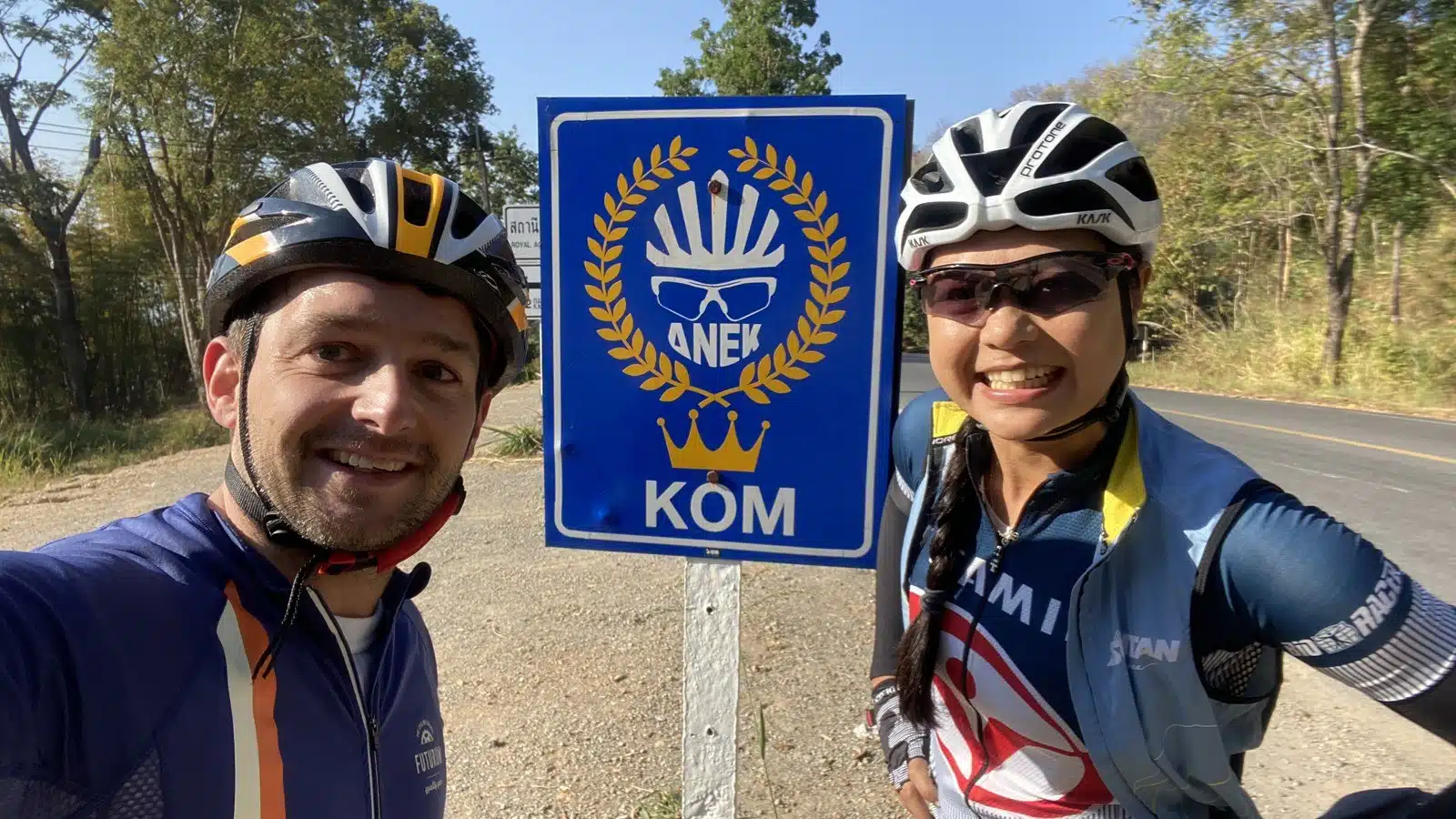
Samoeng Loop cycling from Chiang Mai is 80-100 km with about 1,400-1,500 m of climbing, up to 1,138 m in the hills west of the city; our GPX is 81 km. We rode it on 28 January 2020 with Chanika of Cycling Buddy Chiang Mai: 79 km in 4 hours 44 minutes, coffee stop included. Chanika was the perfect guide, and she knew the best coffee stops. Five days later, on 2 February 2020, I rode the loop twice in one day on my own, as a challenge.
| Distance | 81 km from Suthep Road, about 2 km west of the Old City (our own ride was 79 km) |
| Climbing | about 1,400-1,500 m |
| Highest point | 1,138 m |
| Direction | Anticlockwise: road 1269 into the hills, back down road 1096 through the Mae Sa valley |
| Our time | 4 h 44 min in total, 4 h 12 min riding (start 7:49) |
| Coffee stop | Di Bosco, road 1096, after 49 km |
Samoeng Loop cycling route: GPX and elevation profile
The GPX follows our own Strava track of 28 January 2020 and starts and ends on Suthep Road, about 2 km west of the Old City, leaving town via the Canal Road: 81 km. It works on a Garmin or Wahoo and in Komoot, Organic Maps or OsmAnd; the KML opens in Google My Maps.
Download GPX (81 km)KML for GoogleOpen in Google Maps

The route, step by step
Chiang Mai to the KOM sign (0-25 km). Out of the city along the Canal Road, then west onto road 1269. The road climbs slowly at first and then properly, up to the blue KOM sign at about 820 m, where we took the photo at the top of this page.
The long climb (25-42 km). A steep drop of almost 300 m to about 530 m, then the main climb of the day: about 600 m up to 1,138 m, the highest point of the loop. We did not ride into Samoeng town itself: at about 35 km we turned right onto road 1096, which climbs the last 6 km to the top.
Down to Di Bosco and the Mae Sa valley (42-64 km). A long, fast descent with a couple of short rises, past the coffee stop at Di Bosco and down through the Mae Sa valley to Mae Rim.
Back to Chiang Mai (64-81 km). Flat: from Mae Rim south, back to Suthep Road.
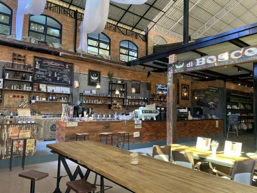
Coffee stop on the Samoeng Loop: Di Bosco
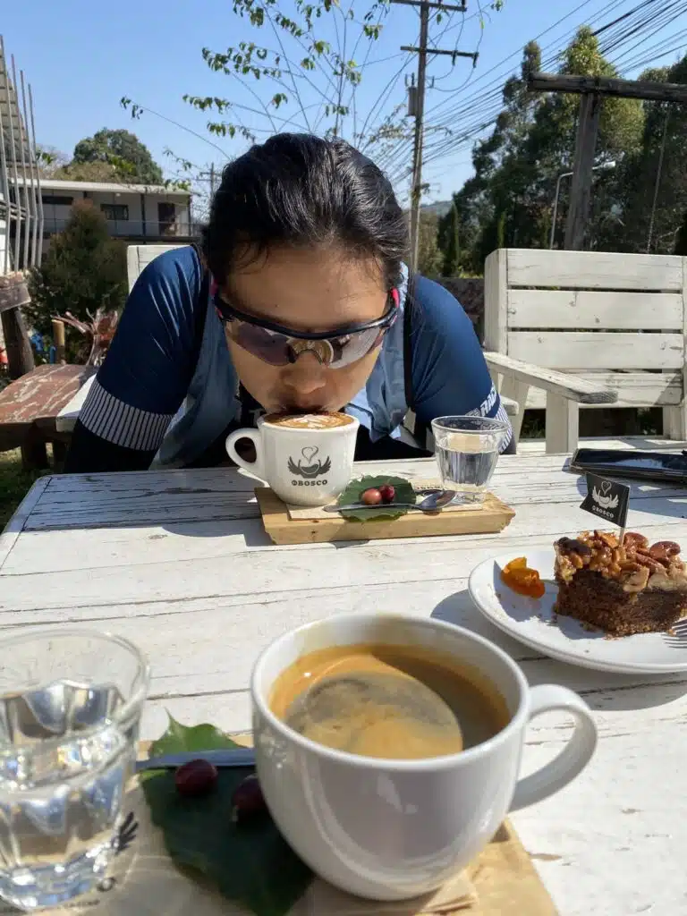
Our coffee stop was Di Bosco on road 1096 (Google Maps), about 49 km into the loop, halfway down from the top and before the fast descent into the Mae Sa valley. Coffee and cake on the terrace, and we stopped there for about 25 minutes before the last 32 km.
Riding with Cycling Buddy Chiang Mai
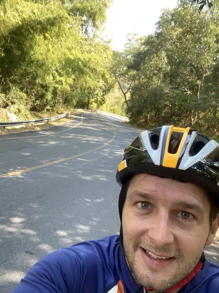
We rode the loop with Chanika of Cycling Buddy Chiang Mai. I rented my road bike from them too. More about them in cycling tours in Chiang Mai. You can see our ride on Strava.
The challenge: the Samoeng Loop twice in one day
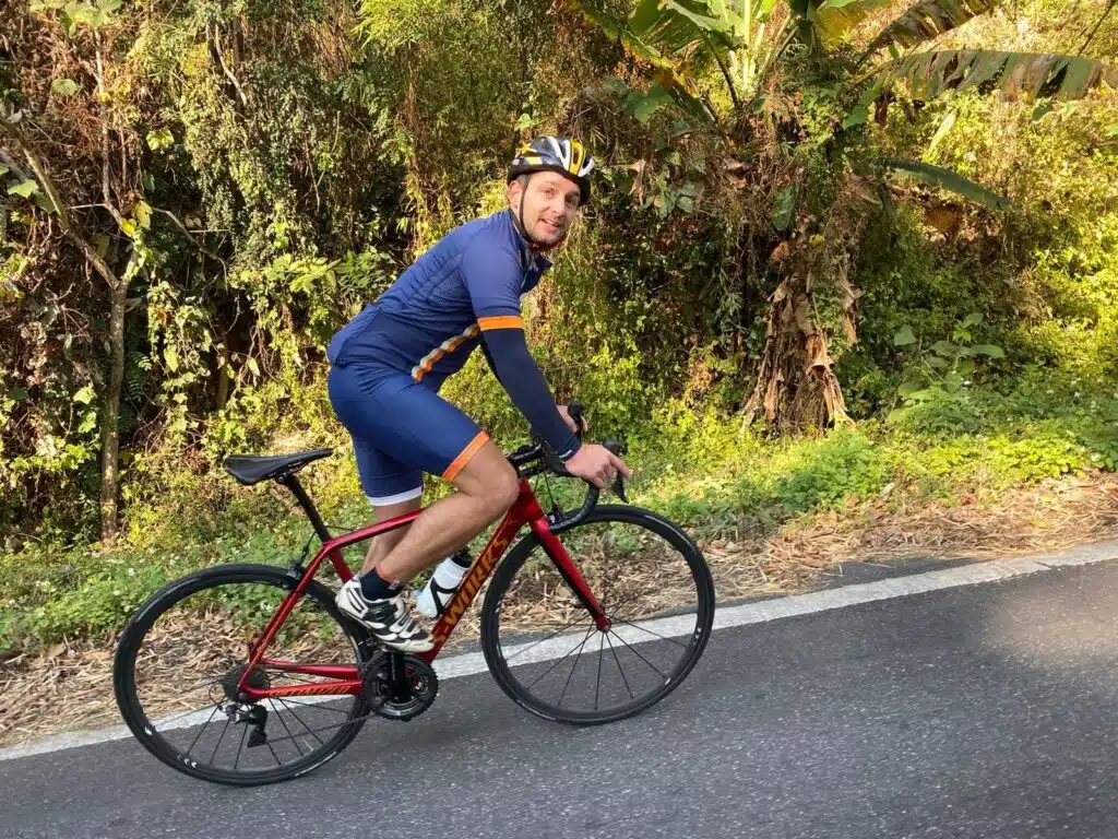
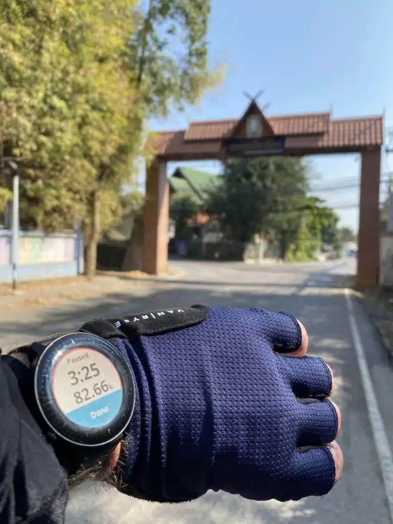
On 2 February 2020 I rode two laps in one day, on my own this time: 162 km, starting just before 7 in the morning. After the first lap the watch said 82.66 km, then I rode back into the hills for the second one. The ride is on Strava.
Tips for cycling the Samoeng Loop
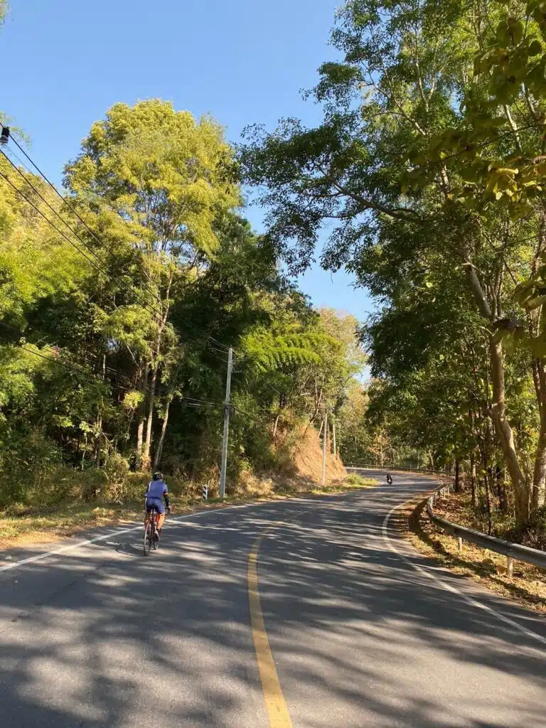
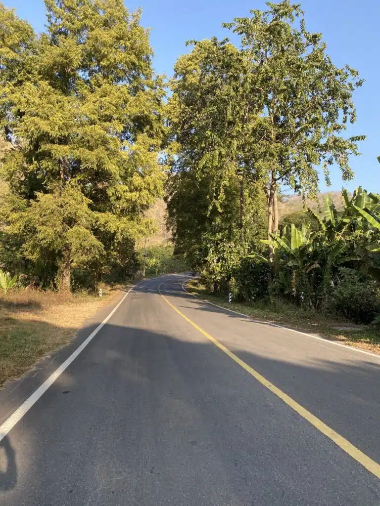
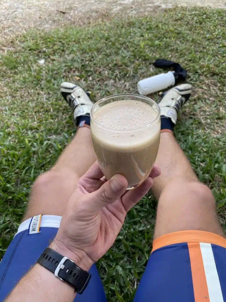
- Start early. We started at 7:49, and on the two-lap day just before 7; at 8 the roads were still empty (photo above).
- Plan your coffee. Our stop in 2020 was Di Bosco at 49 km, after the hardest part; check the opening hours on Google Maps before you go.
- Ride it with a guide the first time if you do not know the roads: we rode it with Cycling Buddy Chiang Mai.
- No bike with you? In 2020 I rented my road bike from Cycling Buddy Chiang Mai; check their site for current bikes.
More cycling and Chiang Mai
- Doi Suthep cycling: the 10.7 km climb to the temple (GPX)
- Doi Pui cycling: all the way up to 1,537 m (44 km, GPX)
- Huay Tung Tao cycling: the flat lake ride (34 km, GPX)
- Cycling tours in Chiang Mai
- Golden Triangle Loop from Chiang Mai by scooter (798 km, GPX)
- Downhill mountain biking in Chiang Mai (guided tours)
- Hiking the Monk’s Trail to Doi Suthep
- How many days you need in Chiang Mai
- Our Thailand guide
FAQ
How long is the Samoeng Loop by bike?
Our GPX from Suthep Road, west of the Old City, is 81 km. Published versions of the loop are 85-100 km, mostly because they start and finish in different places in Chiang Mai.
How much climbing is the Samoeng Loop?
About 1,400-1,500 m on our route, with the highest point at 1,138 m. Riding anticlockwise there are two big climbs: about 430 m up to the KOM sign, and after a drop of almost 300 m, about 600 m up to the top.
How does the Samoeng Loop compare with climbs in Europe?
The main climb of about 600 m is just over half of Alpe d’Huez, which gains about 1,100 m from Bourg-d’Oisans at around 8%. Over the whole loop you climb about 1,400-1,500 m: more than Alpe d’Huez and a little less than Mont Ventoux from Bedoin (about 1,600 m), but split into two climbs with a fast descent in between.
How long does it take to cycle the Samoeng Loop?
It took us 4 hours 12 minutes of riding and 4 hours 44 minutes in total, with a coffee stop of about 25 minutes.
Clockwise or anticlockwise?
We rode it anticlockwise: road 1269 up first, then down road 1096 through the Mae Sa valley.
Distance and times: our own Strava recordings (28 January and 2 February 2020). Heights: Copernicus DEM GLO-30 (© DLR e.V. 2010-2014 and © Airbus Defence and Space GmbH 2014-2018, provided under COPERNICUS by the European Union and ESA), checked against SRTM and ASTER and against the published Samoeng Viewpoint climb on myCols (top 1,126 m), not the altitude of the watch. Checked 26 October 2026.