
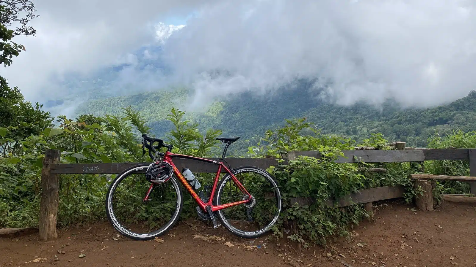
Doi Pui cycling from Chiang Mai: 44 km out and back from Suthep Road, about 2 km west of the Old City, with one long climb of about 18 km and 1,200 m up road 1004, past Wat Phra That Doi Suthep, to the Doi Pui viewpoint at 1,537 m. I rode it on Friday 6 October 2023 with Chanika of Cycling Buddy Chiang Mai. We had coffee together at the temple; Chanika had a big ride the next day and saved her legs, so I went on alone, all the way up to Doi Pui. 50 km door to door, 2 hours 52 minutes of riding, back in town before 11.
| Distance | 44 km out and back, from Suthep Road, about 2 km west of the Old City |
| The climb | about 18 km and 1,200 m, around 6.5-7% on average |
| Highest point | 1,537 m at the Doi Pui viewpoint |
| My time | start point 7:32, viewpoint 10:06, back 10:57; 2 h 52 min riding for the whole 50 km ride |
| Coffee stop | Wat Phra That Doi Suthep, about 1,000 m, after 15 km |
Doi Pui cycling route: GPX and elevation profile
The GPX follows my Strava track of 6 October 2023, from Suthep Road, about 2 km west of the Old City, and goes up and down the same road. It works on a Garmin or Wahoo and in Komoot, Organic Maps or OsmAnd; the KML opens in Google My Maps.
Download GPX (44 km)Open in Google Maps
Google My Maps: KML file

The route, step by step
To the foot of the climb (0-4 km). Flat, north-west through town to the Khruba Srivichai monument, where road 1004 starts to climb. We passed it at 7:45.
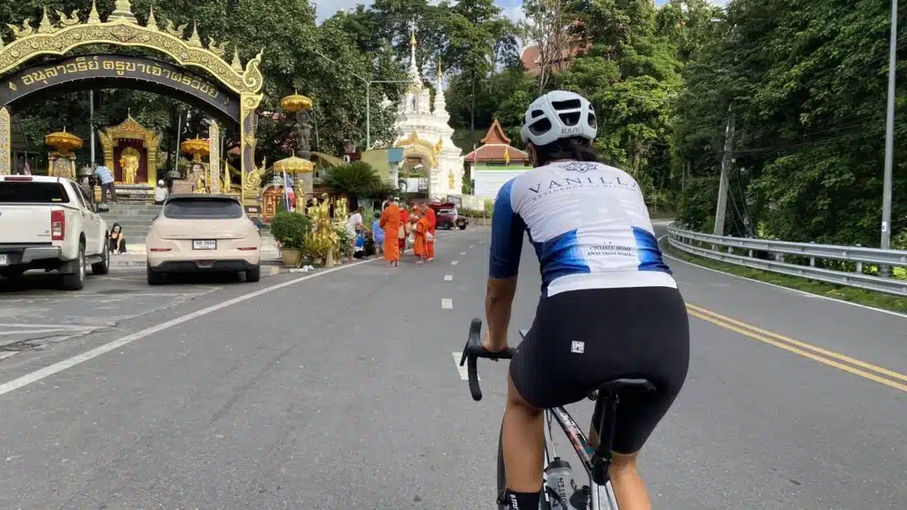
Up to Wat Phra That Doi Suthep (4-15 km). About 10.5 km and 630 m up through the forest, with a steady gradient. We reached the temple car park, at around 1,000 m, at 8:47 and stopped for coffee just past the temple for half an hour. Chanika stopped here to save her legs; I kept going.
Up to the Doi Pui viewpoint (15-22 km). Past the temple the road keeps climbing, past Bhubing Palace, to the viewpoint at 1,537 m. I was there at 10:06.
Back down (22-44 km). The same road back to the city. It took me about 45 minutes from the top back to the start point.
How does the Doi Pui climb compare with climbs in Europe?
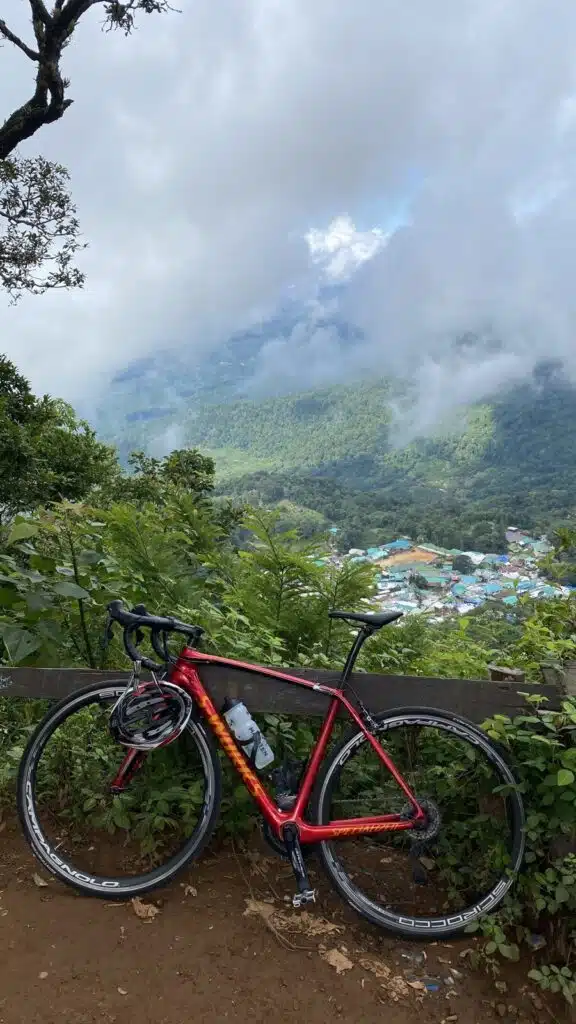
From the foot of the climb to the viewpoint you gain about 1,200 m in 18 km. That is more height than Alpe d’Huez (about 1,100 m in 14 km from Bourg-d’Oisans) but less steep: around 6.5-7% here against about 8% there. Mont Ventoux from Bedoin is bigger again, about 1,600 m in 21 km.
The Doi Pui viewpoint, by day and at sunset
I turned around at the Doi Pui viewpoint (Google Maps). In the morning you look out over forested hills and a village in the valley; in the evening the sun goes down behind the hills in front of you. I took the sunset photos below on other visits, on 29 November 2019 and 12 January 2020, both times between 17:40 and 18:10, and not by bike. More sunset spots, and how to get up there, are in where to watch sunset in Chiang Mai.
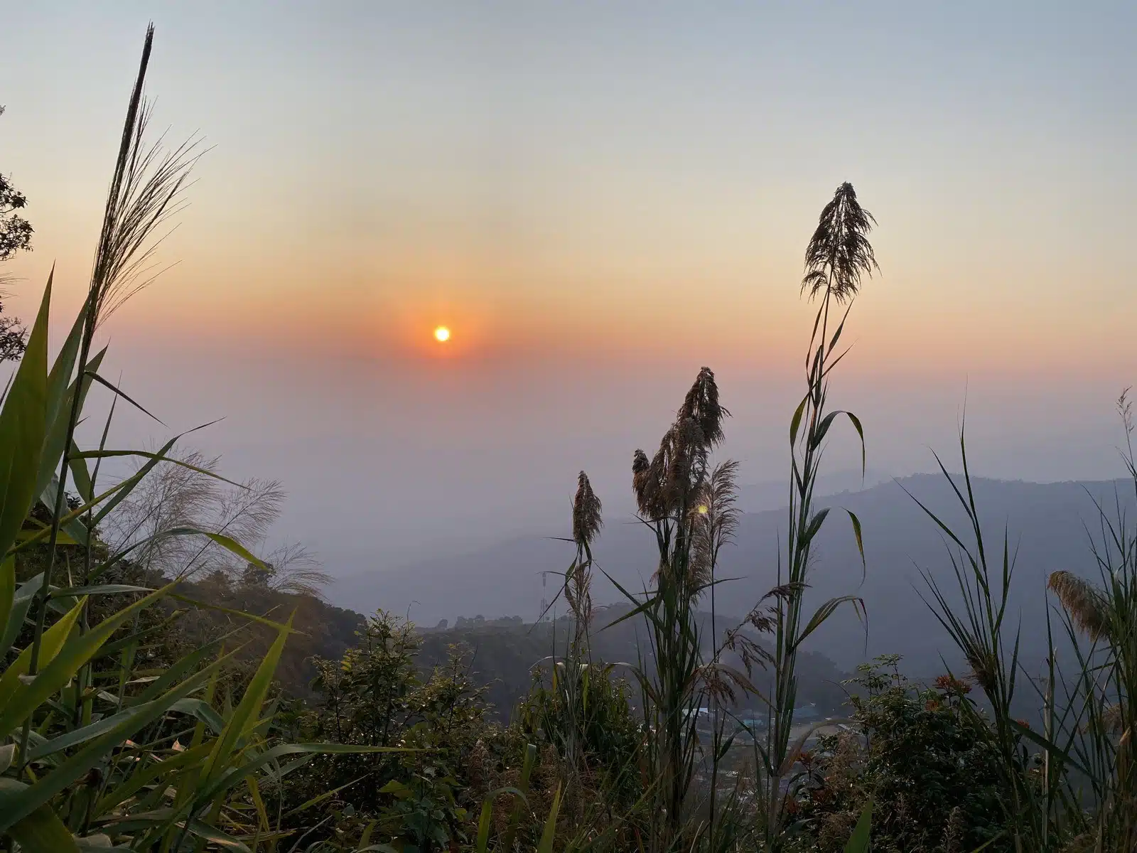
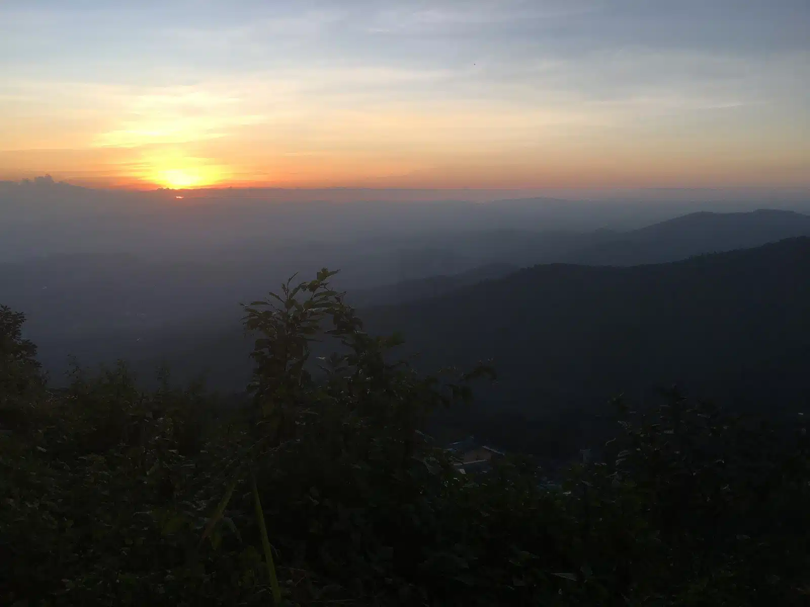
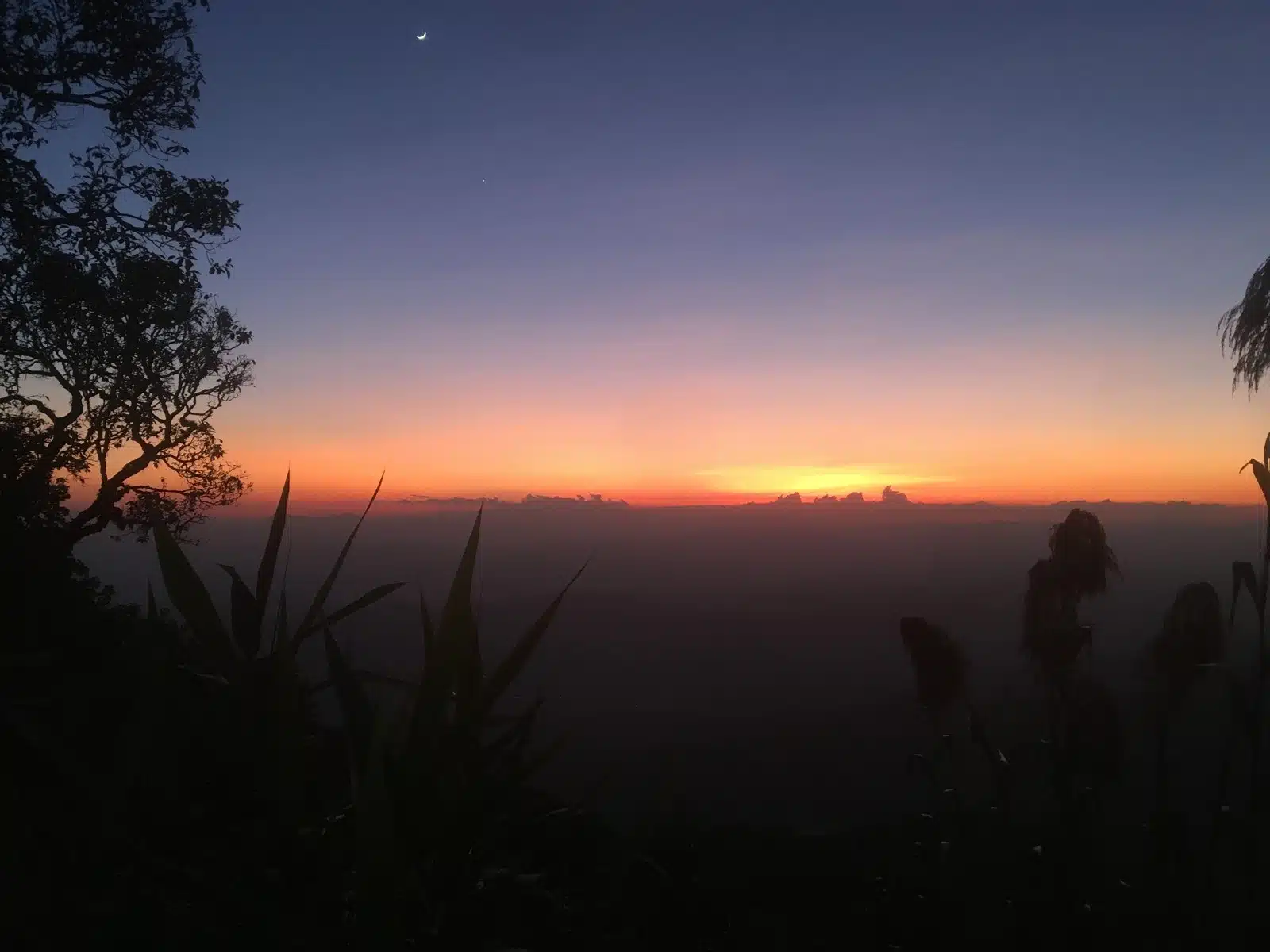
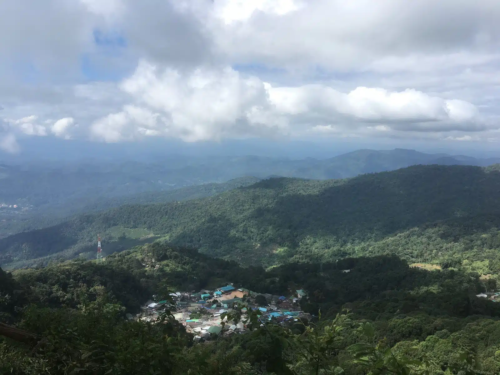
I would not cycle up for sunset: it means riding down 18 km of bends in the dark. Ride up in the morning, and come back another evening for the sunset.
Tips for cycling Doi Pui
- Start early. We left at 7:27, and I was back in town before 11, before the midday heat.
- Use the temple as your checkpoint. At about 1,000 m and 15 km, Wat Phra That Doi Suthep is the place for coffee, and to stop if you have had enough, as Chanika did (that shorter ride is our Doi Suthep cycling (10.7 km climb, GPX)). From there it is another 7.5 km and about 530 m up to Doi Pui.
- Ride it with a guide the first time if you do not know the roads: in October 2023 I rode up to the temple with Chanika of Cycling Buddy Chiang Mai. You can see my ride on Strava.
More cycling and Chiang Mai
- Doi Suthep cycling: just the climb to the temple (29 km, GPX)
- Samoeng Loop cycling: 81 km with GPX
- Huay Tung Tao cycling: the flat lake ride (34 km, GPX)
- Cycling tours in Chiang Mai
- Downhill mountain biking in Chiang Mai (guided tours)
- Hiking the Monk’s Trail to Doi Suthep
- Where to watch sunset in Chiang Mai
- Our Thailand guide
FAQ
How long is the Doi Pui climb by bike?
From the foot of road 1004 at the Khruba Srivichai monument to the Doi Pui viewpoint it is about 18 km with about 1,200 m of climbing. Our GPX from Suthep Road, about 2 km west of the Old City, up and back down, is 44 km.
How steep is it?
Around 6.5-7% on average. Climbfinder lists the steepest 100 m at almost 12%.
How long does it take?
My whole 50 km ride took 2 hours 52 minutes of riding and 3 hours 38 minutes with stops: about 2 hours 35 minutes from the start point to the viewpoint, including half an hour of coffee at the temple, and about 45 minutes back down.
How high is the Doi Pui viewpoint?
About 1,537 m (terrain model), some 1,200 m above Chiang Mai.
How do you get to the Doi Pui viewpoint?
Up road 1004 past Wat Phra That Doi Suthep and Bhubing Palace: 22 km from our start point west of the Old City. By bike that is the climb on this page; without a bike, a red truck (songthaew), taxi or driver.
Can you watch the sunset from the Doi Pui viewpoint?
Yes, it faces the sunset over the hills; my photos are from late November and mid-January, between 17:40 and 18:10. Go up by red truck, taxi or driver for that, not by bike.
Distance and times: my own Strava recording (6 October 2023). Heights: Copernicus DEM GLO-30 (© DLR e.V. 2010-2014 and © Airbus Defence and Space GmbH 2014-2018, provided under COPERNICUS by the European Union and ESA), checked against SRTM and ASTER and against the published Doi Pui climb on Climbfinder (18.3 km, 1,244 m), not the altitude of the watch. European climbs: published figures. Checked 26 October 2026.