
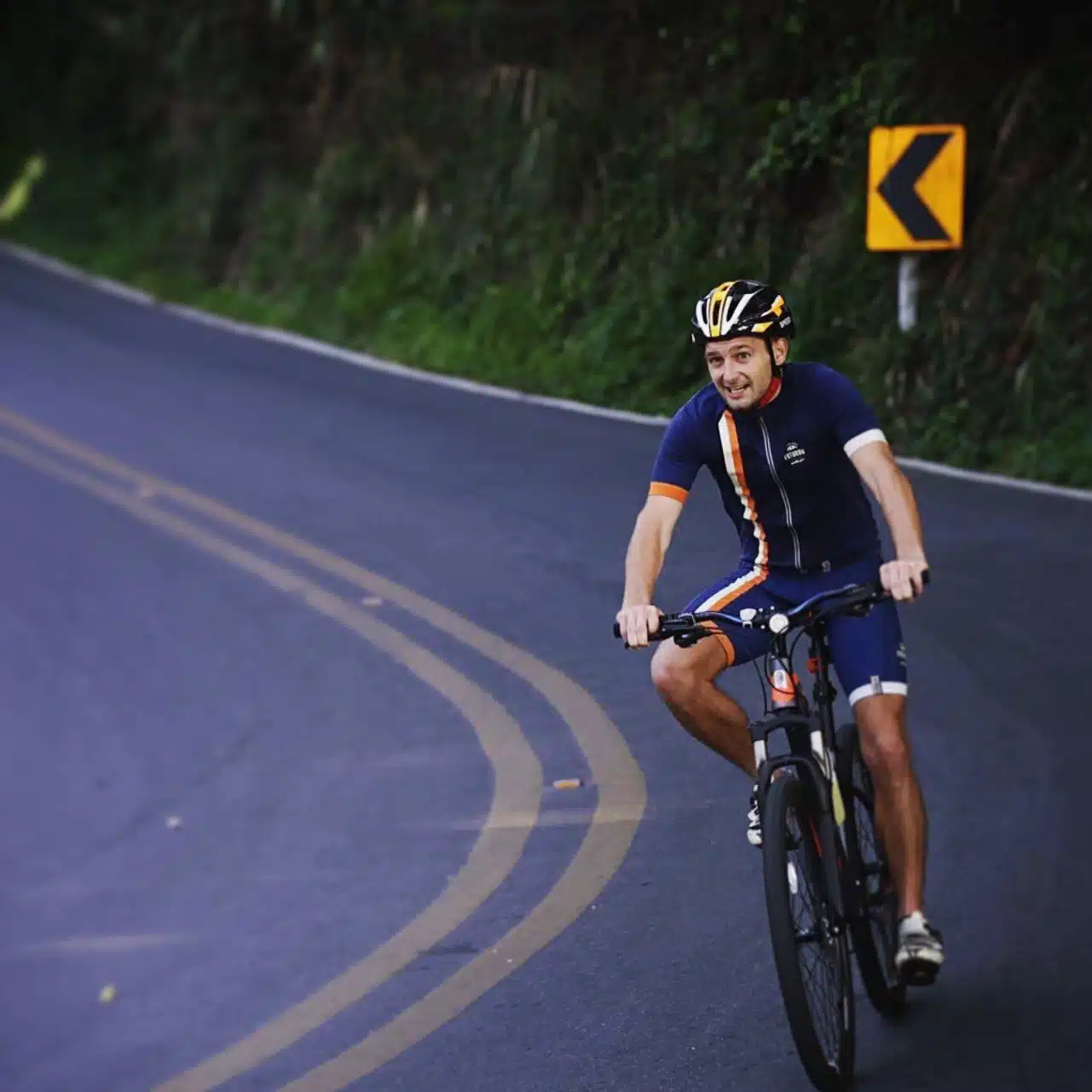
Doi Suthep cycling from Chiang Mai: one climb of 10.7 km and about 650 m up road 1004 to Wat Phra That Doi Suthep, at around 6%, and 29 km out and back from Suthep Road, about 2 km west of the Old City. It is one of my favourite things to do in Chiang Mai, and I rode it several times. Go in the morning: you watch the sunrise from the bike, it is cool, and at the top you have a coffee and a fresh juice before you ride down for breakfast.
| Distance | 29 km out and back, from Suthep Road, about 2 km west of the Old City |
| The climb | 10.7 km, about 650 m, around 6% on average |
| Top | about 1,000 m at the temple car park; the temple itself is up the stairs |
| My time (25 January 2020) | 51 minutes from the foot of the climb to the top, 24 minutes back down |
| Sunrise ride (26 November 2019) | start 5:49, sunrise on the way up, down from the top at 7:07 |
| At the top | coffee and fresh juice by the temple |
Doi Suthep cycling route: GPX and elevation profile
The GPX follows my Strava track of 25 January 2020 from the foot of the climb to the temple, and starts and ends on Suthep Road, about 2 km west of the Old City. Up and down the mountain is the same road. It works on a Garmin or Wahoo and in Komoot, Organic Maps or OsmAnd.
Download GPX (29 km)Open in Google Maps
Google My Maps: KML file

Why I ride it in the morning: sunrise from the bike
The best reason to go early is the sunrise. On 26 November 2019 I left at 5:49, and at 6:27 I was on the road above the city as the sun came up over Chiang Mai. The air on the mountain is cool, and you will not be alone: you meet other cyclists on the way up, and runners too, like my Muay Thai gym buddy.
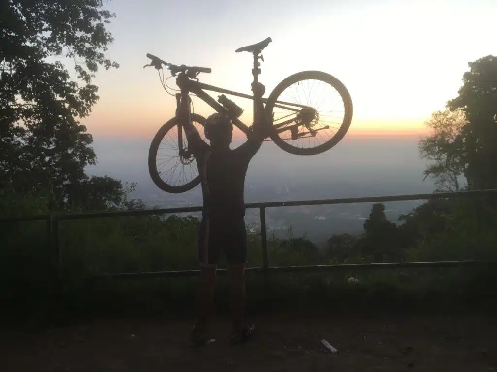
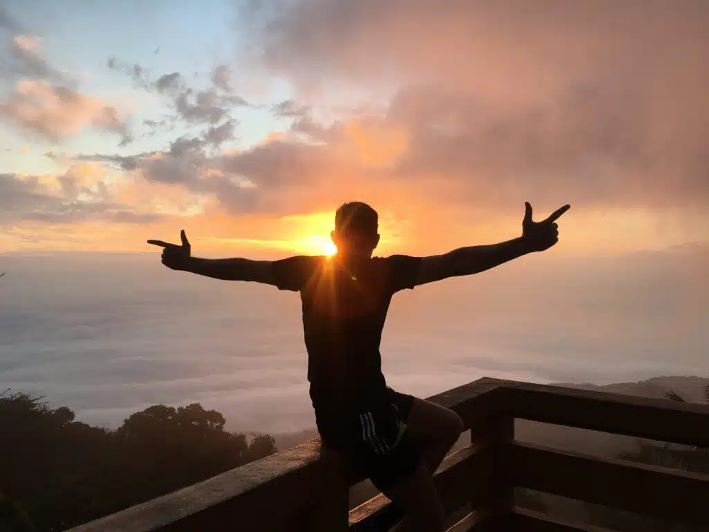
More places to watch it: where to watch sunrise in Chiang Mai.

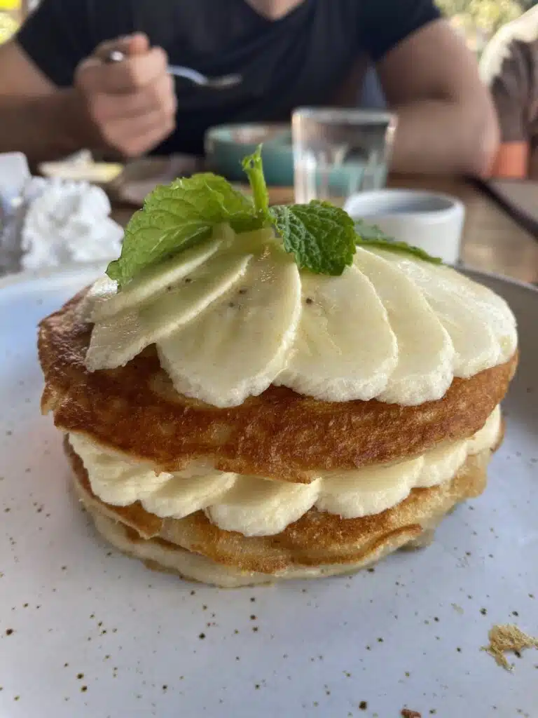
At the top I have a coffee and a fresh juice from the stalls by the temple, and then I ride down for breakfast in town: pancakes at Goodsouls Kitchen, or breakfast at Sunflower Smoothies and Coffee & Breakfast (Google Maps), my two favourite places. Both were still open in October 2026; check the opening hours on Google Maps before you ride down.
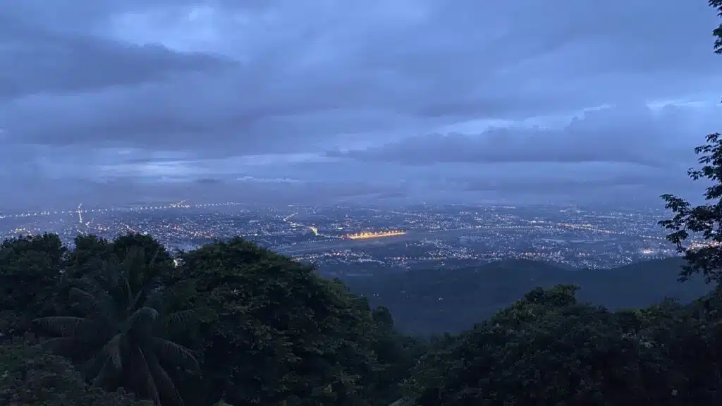
The ride I use for the GPX was an exception: on 25 January 2020 I rode up in the late afternoon, at 16:12 (‘Damn hard day. Wake up the legs’, I wrote on Strava). It works too, but the morning is better.
The monks’ alms round at the foot of the climb
If you start early, you see one of the daily traditions of a city like Chiang Mai. Around dawn, Buddhist monks walk barefoot along the street with their bowls, and people give them food. In Thai it is called tak bat or sai bat. Monks do not cook for themselves, and for the people giving, it is a way of making merit. At the foot of the Doi Suthep road, by the Khruba Srivichai monument, you may ride past it.
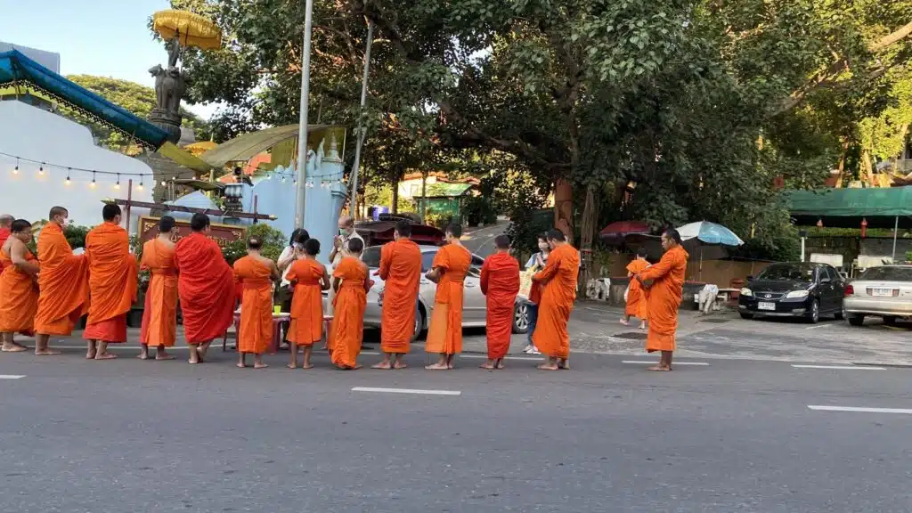
Watching is fine; keep a little distance, do not get in the way of the people giving, and do not touch the monks.
The route, step by step
To the foot of the climb (0-4 km). Flat, north-west through town to the Khruba Srivichai monument, where road 1004 starts climbing.
The climb (4-15 km). 10.7 km and about 650 m through the forest, with a steady gradient of around 6%. It took me 51 minutes.
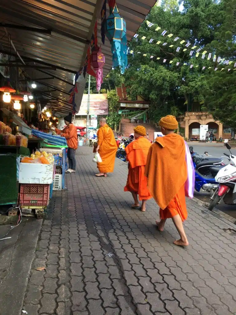
At the top (15 km). The road ends at the temple car park, at about 1,000 m. The temple itself is up the stairs, and the stalls with coffee and fresh juice are by the temple. Early in the morning you may see monks walking along the stalls here as well.
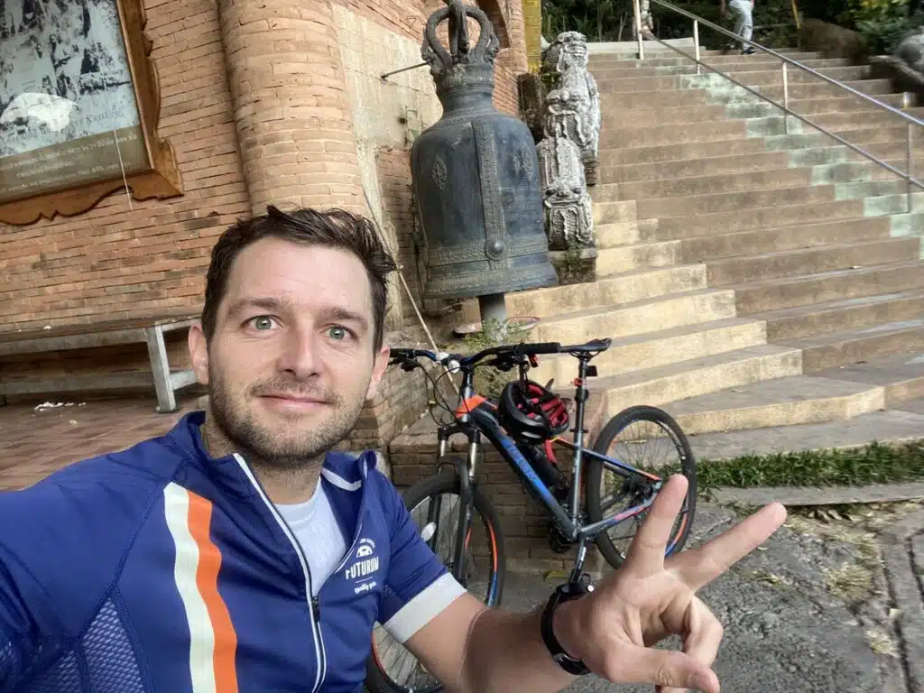
Back down (15-29 km). The same road back into town: 24 minutes down to the city on my ride.
How does the Doi Suthep climb compare with climbs in Europe?
About 650 m in 10.7 km at around 6% is roughly 60% of the height of Alpe d’Huez (about 1,100 m from Bourg-d’Oisans, at around 8%), and gentler. The gradient is close to the Col de Peyresourde from Luchon (about 950 m in 14 km), but you climb about two thirds of the height. Want more? Past the temple the road keeps climbing to Doi Pui at 1,537 m: Doi Pui cycling, all the way up.
More cycling and Chiang Mai
- Doi Pui cycling: all the way up to 1,537 m (44 km, GPX)
- Samoeng Loop cycling: 81 km with GPX
- Huay Tung Tao cycling: the flat lake ride (34 km, GPX)
- Cycling tours in Chiang Mai
- Downhill mountain biking in Chiang Mai (guided tours)
- The Monk’s Trail: up to Doi Suthep on foot
- Our Thailand guide
FAQ
How long is the Doi Suthep climb by bike?
10.7 km from the Khruba Srivichai monument to the temple car park, with about 650 m of climbing. Our GPX from Suthep Road, about 2 km west of the Old City, up and back down, is 29 km.
How steep is it?
Around 6% on average, steady all the way up.
How long does it take?
It took me 51 minutes from the foot of the climb to the top and 24 minutes back down to the city.
What is the best time to cycle Doi Suthep?
Early in the morning: you see the sunrise on the way up, it is cool, and at the foot of the climb you may see the monks’ alms round.
Can you buy drinks at the top?
Yes, by the temple there are stalls with coffee and fresh juice.
Where to have breakfast after the ride?
My two favourites: pancakes at Goodsouls Kitchen and breakfast at Sunflower Smoothies and Coffee & Breakfast, both in town and still open in October 2026.
Distance and times: my own Strava recordings (25 January 2020, and the sunrise ride of 26 November 2019). Heights: Copernicus DEM GLO-30 (© DLR e.V. 2010-2014 and © Airbus Defence and Space GmbH 2014-2018, provided under COPERNICUS by the European Union and ESA), checked against SRTM and ASTER and against published figures for the climb (about 650 m over 11 km), not the altitude of the watch. Checked 26 October 2026.